[9 July to 17 July, 2011]
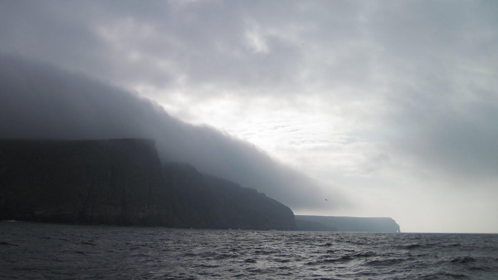
Mainland Shetland appeared on the horizon late in the morning. We were far closer to land than we expected for our first site, due in part to the low-lying terrain and in part to the low-lying clouds. Low as it may be (the highest peak is some 400 meters), the edges are still jagged from millennia of the North Sea pounding against these shores.
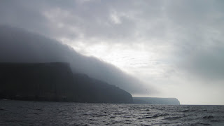 |
| Mainland, Shetland Islands |
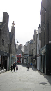
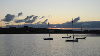
Lerwick is snuggled in a well-protected harbor with stone buildings terracing the hillside; a monochrome of grey water, skies, and structures. People have lived in this part of the world for a long time (with archeological sites dating back 5000 years), but one doesn’t get the sense that the living has been easy. Although this was not always the case. Nearly 2000 years ago, the climate here shifted from more Mediterranean-type climes to the cold wet weather now associated with the Shetland Islands, likely a result of significant worldwide volcanic activity. The more favorable climate prior to this change allowed for migration into the Shetlands, as well as Færoe Islands to the northwest and Orkney Islands to the south. Today there is still evidence of these cultures in the form of brochs dating back 2000 years and cairns (or crypts) from 5000 years ago.
 |
| Lerwick, Shetland Islands |
 |
| Lerwick, Shetland Islands |
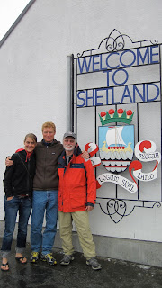 |
Rachel, Karl, and Phil in Lerwick
|
Mousa Island, one of the Shetlands to the south of Lerwick, is home to one of the most intact brochs. We anchored in the small bay and explored this amazing piece of history. The exact use of brochs -- as strongholds for protection or prominent markers of settlement -- are still matters of speculation. The cylindrical structure is impressive, with interior walls forming spiraled pathways around the circumference. The quality of the construction is evidenced by the fact that many are still at least partially standing after 2000 years.
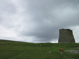 |
| Mousa Broch, with Phil in foreground |
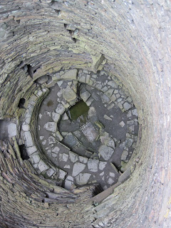 |
| A view down inside the Mousa Broch |
Forty miles south of the Shetlands lies lonely Fair Isle. The present name is thought to derive from a Norse word for "far island," although no one can doubt that it is also quite fair. We made the passage with a following wind and sun breaks.
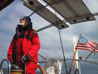 |
| Phil (and the solar panels) catching some much-longed-for sunshine. |
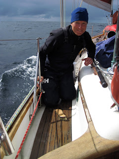 |
| Sun-inspired scrubbing of the decks |
We had begun to make a practice of long walks, and Fair Isle was a lovely place to walk. It has become a birders' paradise with many migratory birds passing through and nesting in the cliffs and the open grasslands. There is a new observatory that houses researchers and enthusiasts, as well as providing facilities for visiting sailors.
 |
| Lovely Fair Isle |
 |
Cemetery on Fair Isle, with southern lighthouse in distance
(the last UK lighthouse to be automated) |
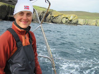 |
| Rachel at the helm leaving Fair Isle |
Our stays in each port have been wanting of more time. There is a schedule to keep, so we were off to the Orkney Islands after one night on Fair Isle. We set off for Westray Island in the northwestern Orkneys, considered (at least by Westray-ites) as the "Queen of the Orkneys" especially because of the varied terrain on the island that captures all the Orkneys have to offer. We were indeed surprised to find quite a variety of sites, ranging from a 16th century castle to a tropical beach.
 |
| The Westray Dinghy |
 |
| White sand beach on the north shore of Westray, Orkney Islands |
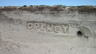 |
| Found at the beach |
We made our way south to the island of Rousay, to the northwest of Kirkwall on mainland Orkney Island. Rousay is known for having some of the oldest and most intact archeological sites in the Orkneys. We wended our way from an 18th century castle to a 5000-year-old cairns to 3000-year-old broch. On the way we encountered an in-progress archeological dig. The enthusiasm of the archeologists was infectious as she showed us the picture of civilization they were putting together based on their finds. It is amazing how they can weave together stories of a long-distant past, and striking to experience that archeology is very much alive.
 |
| Rousay Castle, Orkney Islands |
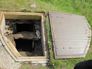 |
| Entrance to a 5000-year-old cairn (or crypt) |
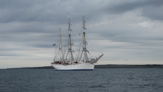 |
| "Sørlandet" - a Norwegian tall ship sailing into the Orkneys as part of the Tall Ship Races |


